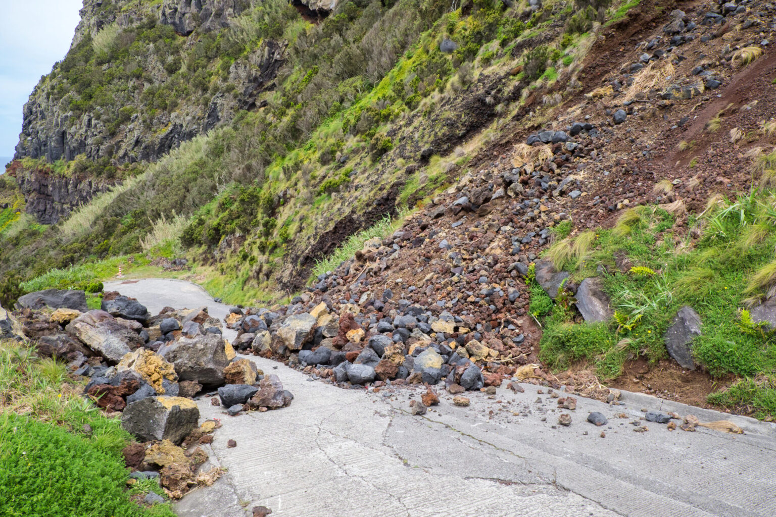
Rockfalls, including stone and boulder dislodgements, are among the most dangerous natural hazards worldwide. They are not only a natural feature of high mountain regions but also occur regularly in low mountain ranges such as the Franconian Jura. This region is particularly susceptible to rockfalls due to its deeply incised river valleys and steep, towering rock formations.
An overview of potential hazards caused by mass movements is provided by the hazard indication map of the Bavarian Environment Agency (LfU). This map outlines the potential spatial occurrence of mass movements and helps identify possible conflict areas between natural hazards and land use.
Tobias Gebhard, a Master's student in the “Geosciences” program at Friedrich-Alexander University Erlangen-Nuremberg, developed an automated method as part of his thesis to analyze these hazard indication areas in greater detail and to prioritize them for expert assessments. The thesis received technical support from the LGA team.
An automated prioritization of hazard indication areas (HIAs) is a valuable tool in practical applications, especially in large regions or areas with numerous HIAs. It enables a more differentiated assessment of the need for investigations of rock masses and process zones, and helps establish the order in which expert evaluations should be conducted. In the deeply incised river valleys of the Franconian Jura, for example, a significant proportion of land lies within the hazard indication areas defined by the Bavarian Environment Agency (LfU).
Specifically, Tobias processed various remote sensing and infrastructure data within a GIS program and intersected them with trajectory-based hazard zones. The hazard zones were classified into low, moderate, and high priority levels. To validate the prioritization, the risk of rockfall was subsequently examined on-site in selected areas and modeled using a rockfall simulation program. The field inspections showed a high level of agreement with the automated prioritization.
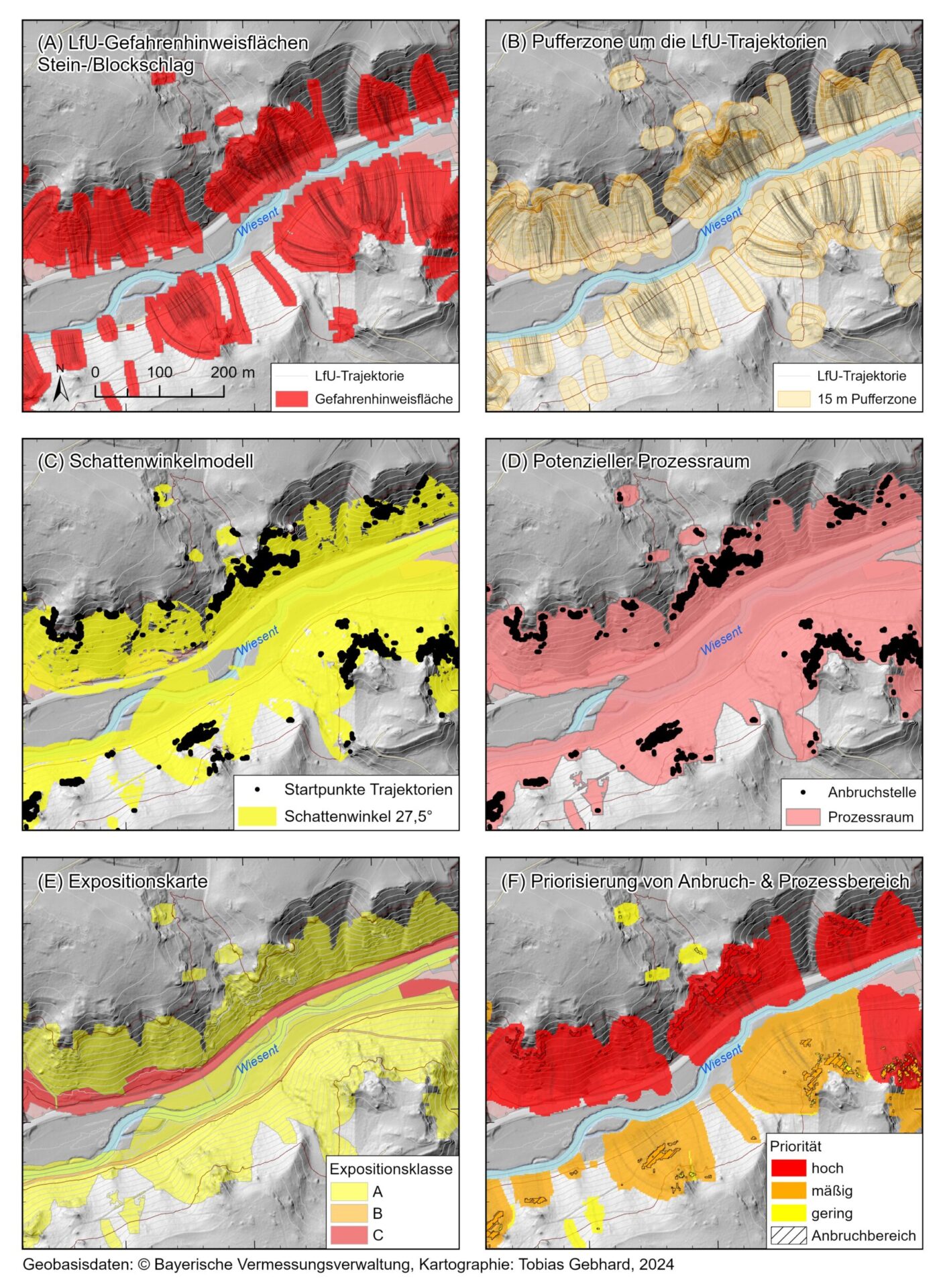
The results of the on-site investigations were also compiled in the form of intensity, hazard, and risk maps. These maps can serve as effective communication tools for authorities, planning offices, and the general public.
We congratulate Tobias on his outstanding Master's thesis and are especially pleased that he has been part of the LGA team in the Engineering Geology department since April.
Welcome aboard!