What does the soil beneath the surface of urban and peri‑urban sites look like?
In April, our soil protection specialists investigated this question across several projects. They examined human‑modified urban and peri‑urban soils, including filled areas in inner‑city locations, former industrial sites, and agricultural land in the urban fringe.
How was the investigation carried out?
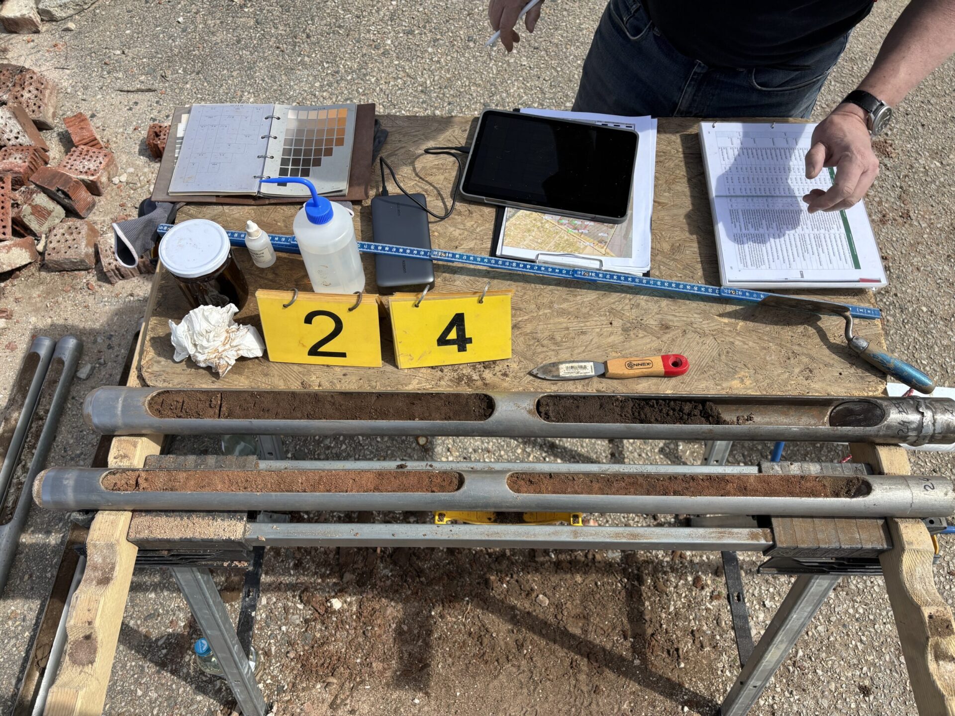
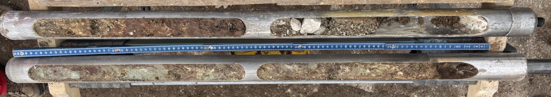
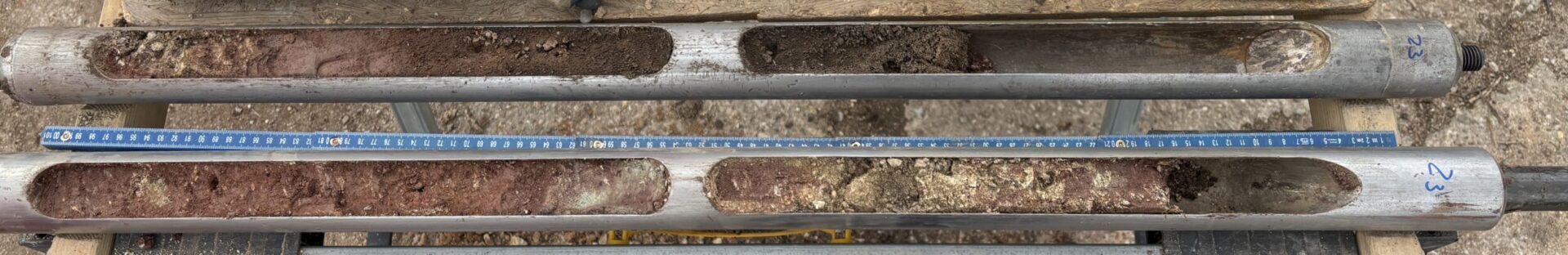
Following the preparation of the investigation concept, the first step was obtaining clearance for unexploded ordnance. Explosive remnants of war—such as bombs, shells or ammunition—are frequently encountered in filled soils within urban areas. After clearance had been granted for all drilling locations, the investigation points were explored using light percussion drilling and, where appropriate, a Pürckhauer auger. The soil material recovered was then described in terms of its properties in accordance with the soil mapping guideline (KA6). Finally, the recorded data were processed in the office and visualised in thematic maps.
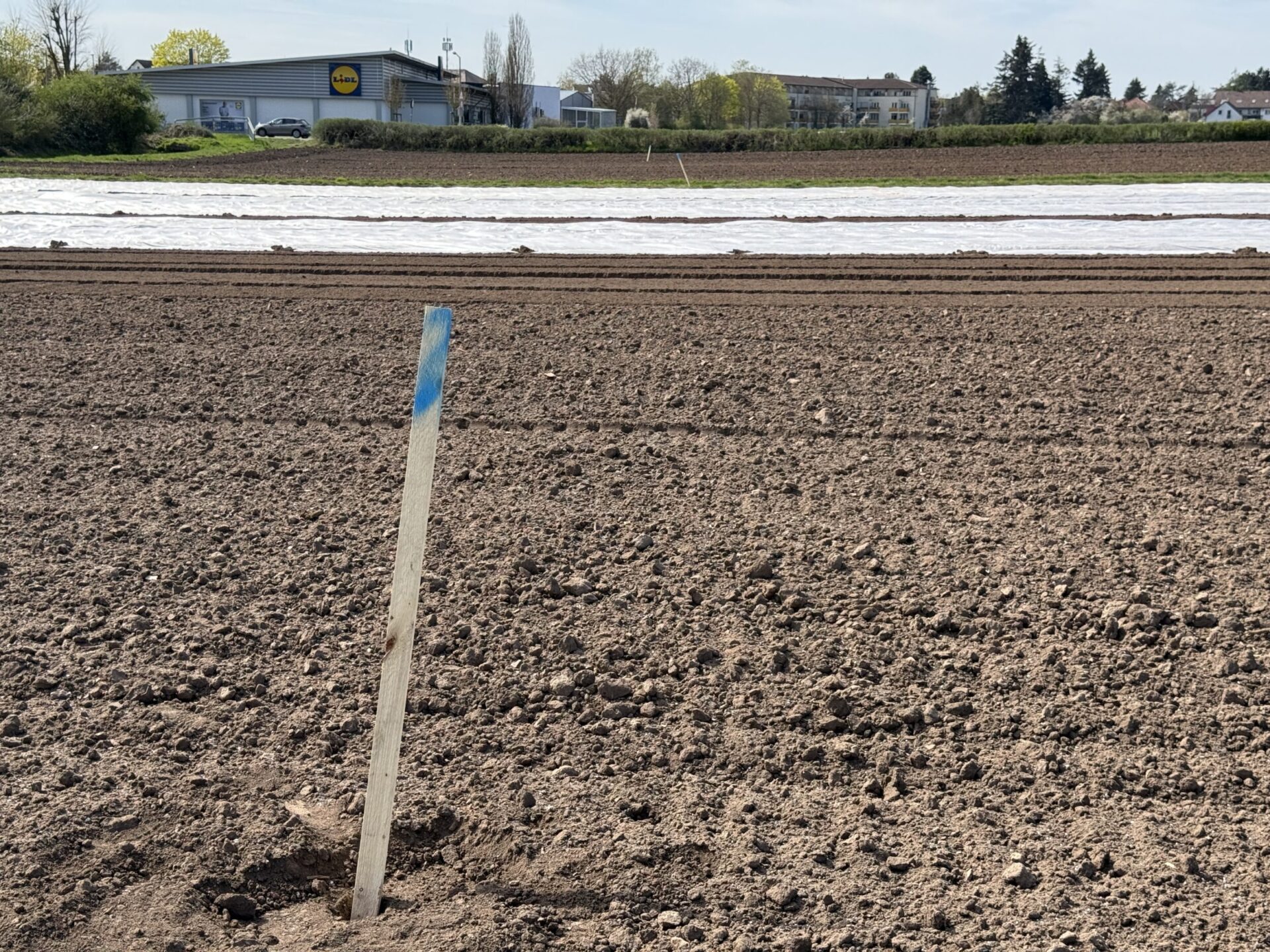
Bodenansprache auf einem stadtnahen landwirtschaftlichen Standort
… and what is the purpose of all this?
The investigations serve, first and foremost, to assess site‑specific soil conditions. Based on the exposures, it can be determined how worthy of protection and how sensitive the encountered soils are. For projects involving soil disturbance, this provides the basis for defining whether soil protection measures are required and, if so, which measures need to be implemented.
In addition, initial insights into the functional use of the site can be gained—for example, whether infiltration of surface water would be feasible at this location.
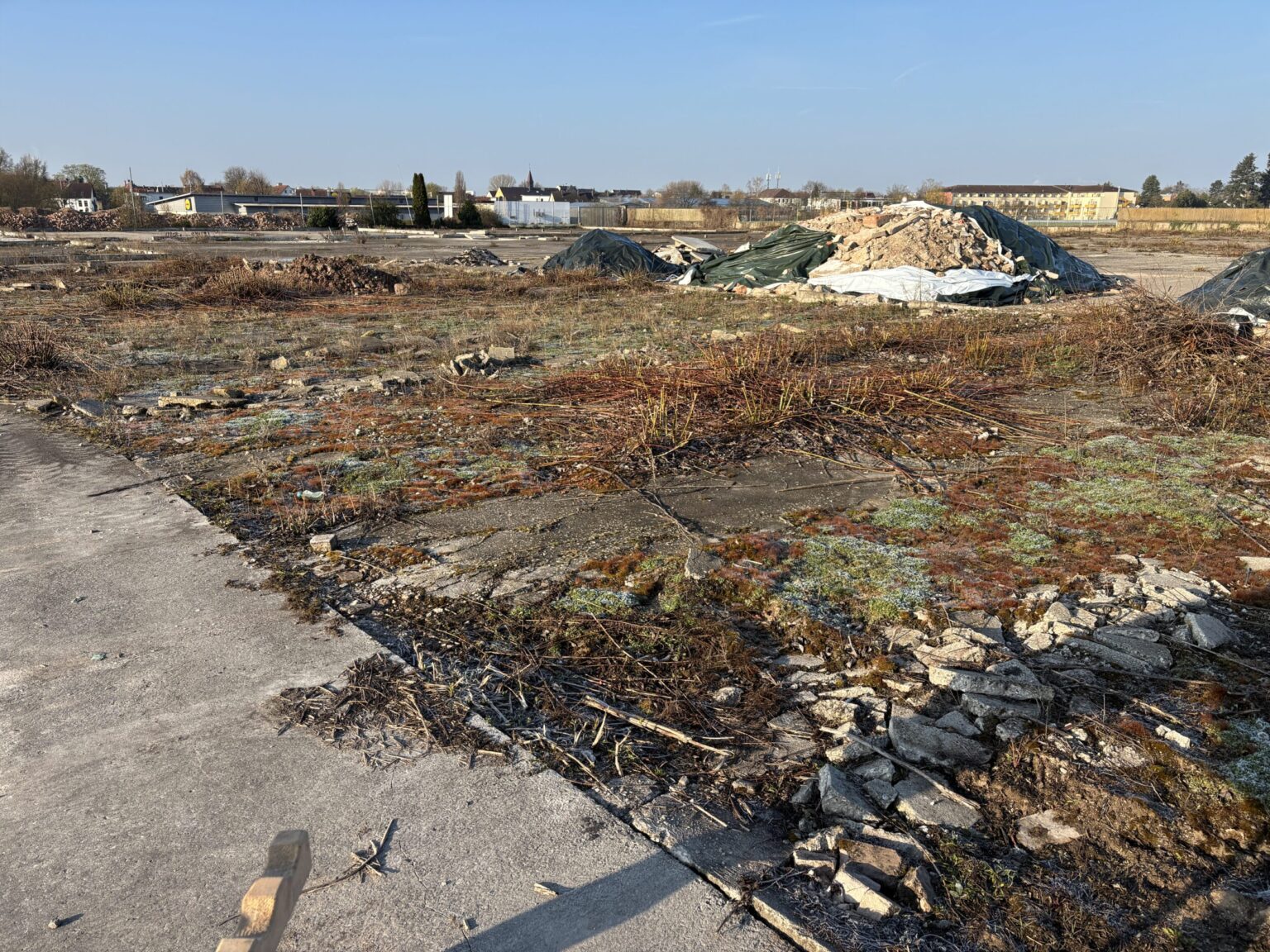
Die Untersuchungen verdeutlichten eindrücklich, wie kleinräumig insbesondere die anthropogen stark beeinflussten Böden auf einem ehemaligen Gewerbestandort wechseln: Auf einer Strecke von nur 100 m wurden bei gleicher Geologie den Untersuchungspunkten drei unterschiedliche Bodentypen zugeordnet. Gemeinsam war allen die deutliche anthropogene Durchmischung. Doch auch auf den stadtnahen landwirtschaftlichen Standorten fanden sich Beweise einer intensiven Bodenbearbeitung: In einer Tiefe von knapp 1,5 m wurden Bruchstücke von Ziegelsteinen durchbohrt.
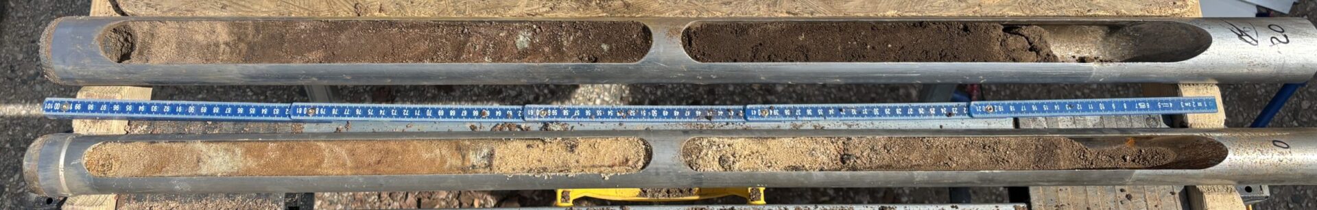
Different soil types at a former commercial site